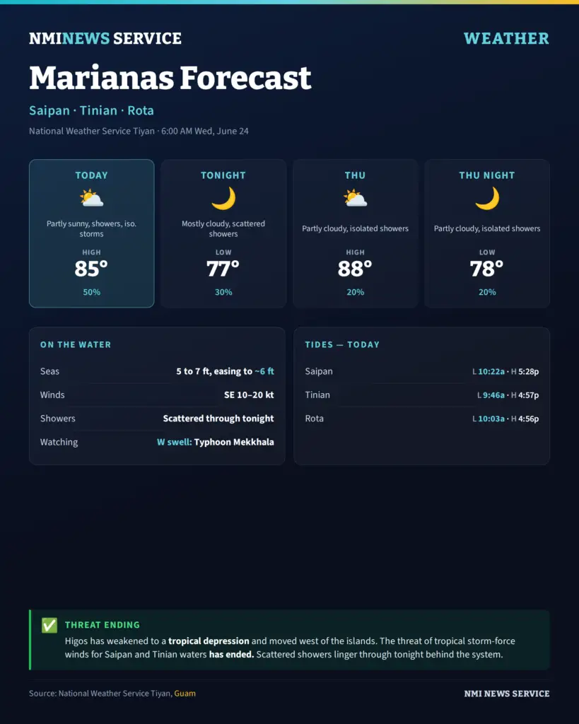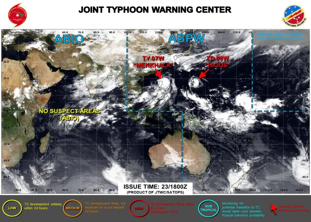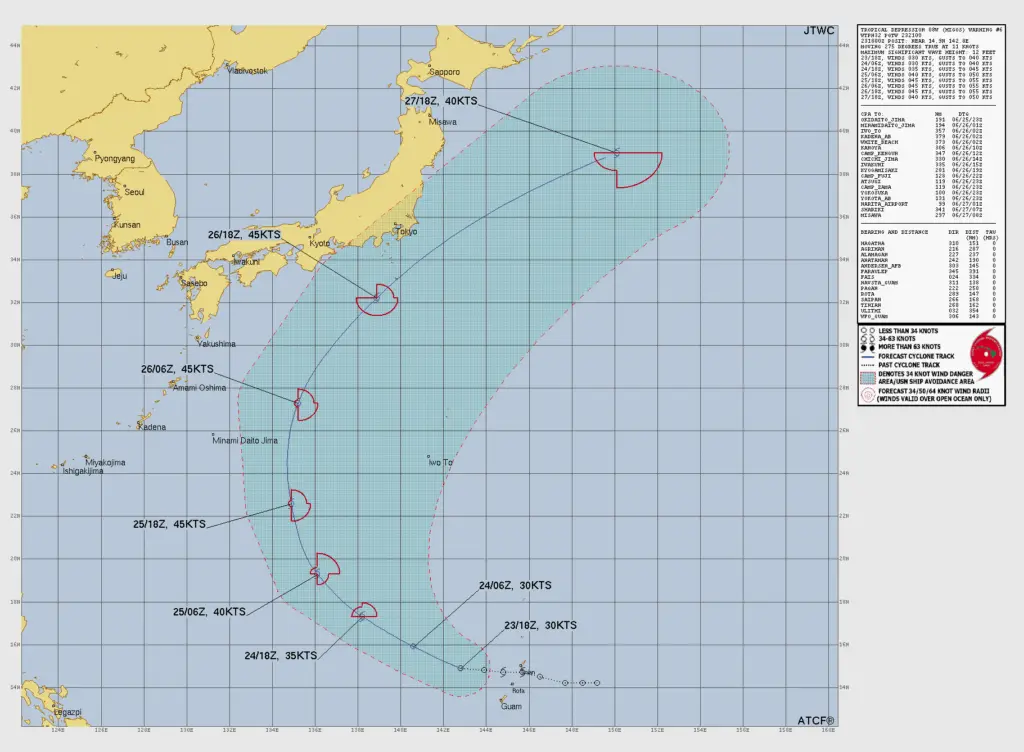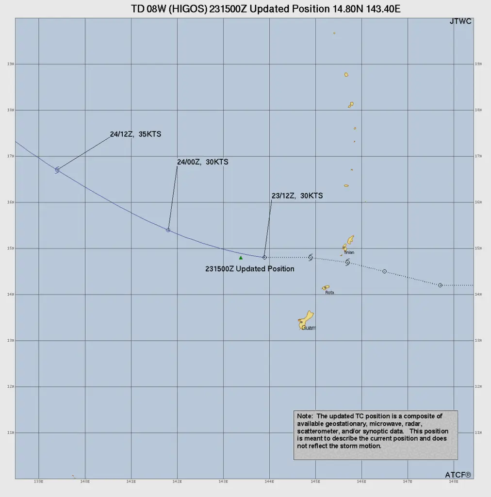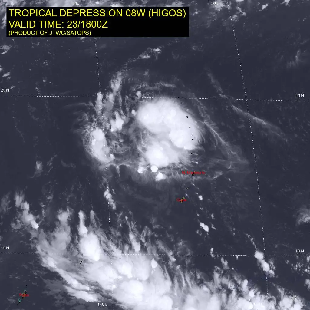
SAIPAN — Tropical Storm Higos weakened to a tropical depression and pulled west of the Marianas by Wednesday morning, ending the threat of tropical storm-force winds for Saipan and Tinian coastal waters, the National Weather Service in Tiyan, Guam said.
In its 6 a.m. coastal waters forecast, the weather service said the depression has moved to the west of Tinian and Saipan waters and continues to move westward and away from the islands. Scattered showers will continue through tonight as convergence behind Higos moves through Marianas waters.
For Saipan, Tinian and Rota, Wednesday will be partly sunny with scattered showers and isolated thunderstorms, southeast winds of 15 to 20 mph and a high near 85 degrees. The chance of showers is 50 percent. Conditions ease overnight, with mostly cloudy skies, scattered showers, a low near 77 and a 30 percent chance of showers.
The improving trend carries into Thursday, which will be partly cloudy with isolated showers, east winds of 10 to 15 mph, a high near 88 and a 20 percent chance of showers.
In Marianas coastal waters, seas of 5 to 7 feet Wednesday will settle to around 6 feet after tonight, with gentle to fresh winds prevailing. The weather service noted a secondary west swell from distant Typhoon Mekkhala moving through the region.
At Tanapag Harbor on Saipan, a low tide of 0.3 feet is forecast at 10:22 a.m. and a high tide of 1.6 feet at 5:28 p.m.