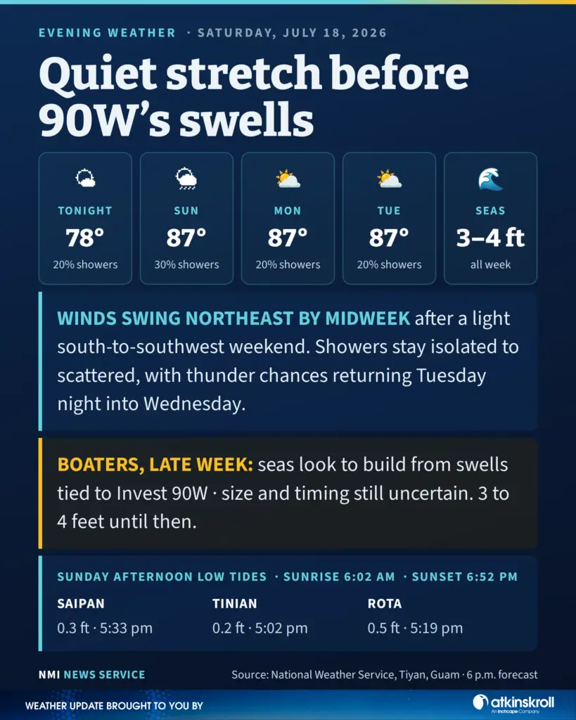

SAIPAN — The Marianas settle into a genuinely quiet stretch tonight, with the National Weather Service in Tiyan flagging just one item on the horizon: seas that look to begin building late next week from swells tied to Invest 90W.
Tonight runs partly cloudy with isolated showers, southwest winds of 10 to 15 mph and lows around 78. Sunday brings a high near 87, with morning isolated showers becoming scattered island showers in the afternoon as winds go light, and a 30 percent shower chance carrying through Sunday night. Monday and Tuesday stay partly cloudy with highs around 87, lows near 76 and just a 20 percent shower chance as winds shift east to southeast. Shower chances tick back up Tuesday night into Wednesday, with a slight chance of thunderstorms.
On the water, gentle to moderate south to southwest winds prevail through the rest of the weekend, becoming light at times before gradually swinging northeast through midweek. Combined seas hold at 3 to 4 feet for much of the coming week. The forecast notes that while the magnitude and timing remain uncertain, seas look to begin increasing toward the end of the week from swells associated with Invest 90W.
The negative afternoon tides that marked the past few days are done. Sunday’s afternoon lows come in at 0.3 feet at Tanapag Harbor at 5:33 p.m., 0.2 feet on Tinian at 5:02 p.m. and 0.5 feet on Rota at 5:19 p.m. Sunrise is 6:02 a.m., sunset 6:52 p.m.