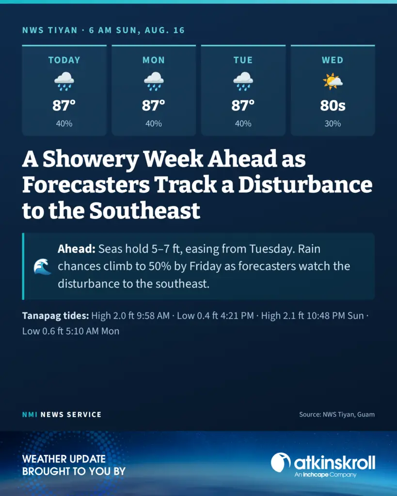

SAIPAN — Scattered showers and isolated thunderstorms run through the entire forecast period this week, with a wetter pattern possible beginning Tuesday depending on the development and track of a tropical disturbance in eastern Micronesia, well to the southeast of the Marianas, according to the National Weather Service in Tiyan, Guam.
Sunday brings mostly cloudy skies with scattered showers and isolated thunderstorms, southwest winds of 10 to 15 mph and highs around 87, with a 40 percent chance of showers continuing through Monday and Tuesday. Overnight lows run around 77.
Winds shift out of the northeast Tuesday afternoon as the pattern changes. Tuesday night through Thursday night carries a 30 percent chance of showers with a slight chance of thunderstorms, before shower chances climb to 50 percent Friday and Saturday.
On the water, gentle to moderate southwesterlies persist through Sunday before easing tonight. Combined seas of 5 to 7 feet are now expected to hold fairly steady through early this week, a change from the earlier subsiding trend, before easing to 4 to 6 feet from Tuesday.
At Tanapag Harbor, Saipan, high tide reaches 2.0 feet at 9:58 a.m. Sunday, with low tide at 0.4 feet at 4:21 p.m. and high tide at 2.1 feet at 10:48 p.m. On Monday, low tide is 0.6 feet at 5:10 a.m., high tide 1.8 feet at 11:04 a.m., low tide 0.7 feet at 4:58 p.m. and high tide 2.1 feet at 11:16 p.m.