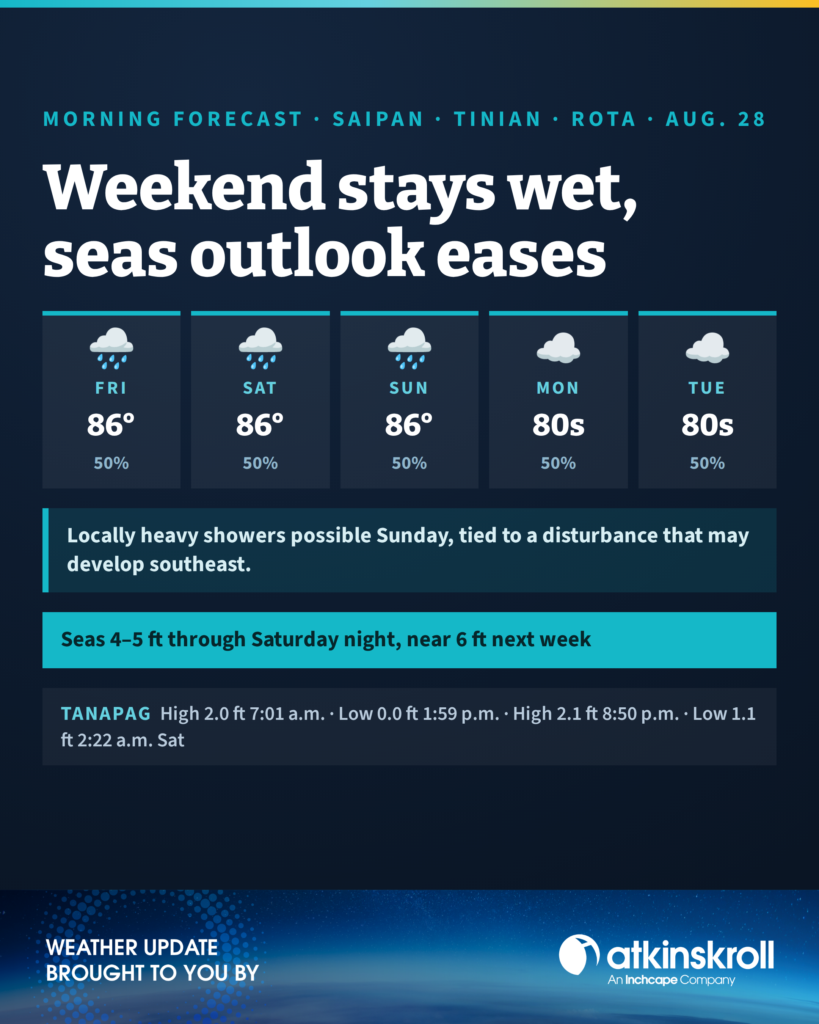

SAIPAN — Expect a mostly cloudy Friday with scattered showers and isolated thunderstorms across Saipan, Tinian and Rota, with highs around 86, west winds 10 to 15 mph and a 50 percent chance of showers, the National Weather Service in Tiyan said in its 6 a.m. forecast.
Tonight stays mostly cloudy with scattered showers and isolated thunderstorms, lows around 78 and northwest winds 10 to 15 mph. Saturday and Sunday continue the pattern at a 50 percent chance, with locally heavy showers possible Sunday. Sunday night through Thursday holds a 50 percent chance of showers with a slight chance of thunderstorms, lows in the upper 70s and highs in the mid 80s.
On the water, the weekend outlook has eased: combined seas of 4 to 5 feet continue through Saturday night, then build to around 6 feet early next week on an increase in westerly swell, a step down from the 6-to-8-foot weekend seas in Thursday’s outlook. Light to moderate west to northwest winds become west-southwesterly early next week. Forecasters say Sunday’s locally heavy showers depend on a monsoon disturbance that may develop southeast of the Marianas.
At Tanapag Harbor, high tide of 2.0 feet at 7:01 a.m. today, a 0.0-foot low at 1:59 p.m., high of 2.1 feet at 8:50 p.m. and a low of 1.1 feet at 2:22 a.m. Saturday. Tide times for Tinian and Rota run within a few minutes of Saipan’s through the weekend.