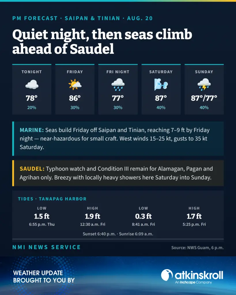

SAIPAN — A mostly quiet night is ahead for Saipan and Tinian before Tropical Storm Saudel’s approach begins raising seas and rain chances into the weekend, the National Weather Service said in its 6 p.m. forecast Thursday.
Tonight brings mostly cloudy skies with isolated showers, northeast winds of 10 to 15 mph easing after midnight and lows around 78. Friday turns partly cloudy with island effect showers and isolated thunderstorms developing in the afternoon, highs around 86 and a 30 percent chance of showers.
The change arrives Friday night. Scattered showers and isolated thunderstorms move in with locally heavy rainfall possible, and Saturday through Sunday turns breezy and mostly cloudy, with southwest winds of 20 to 25 mph gusting to 35 mph in thunderstorms, highs around 87 and shower chances at 40 percent.
The bigger story is on the water. Combined seas of 3 to 4 feet begin building Friday ahead of Saudel and are expected to reach as high as 9 feet off Tinian and Saipan by Friday night, bringing near-hazardous conditions for small craft. West winds of 15 to 25 knots with gusts to 35 knots follow Saturday. The weather service said the situation will continue to be monitored closely.
Rota sees a similar but slightly gentler pattern: southwest winds of 15 to 20 mph Saturday with seas of 6 to 8 feet Saturday night and gusts to 30 knots.
A typhoon watch and Typhoon Condition III remain in effect for Alamagan, Pagan and Agrihan only. No watches, warnings or conditions are in effect for Saipan, Tinian or Rota.
At Tanapag Harbor, low tide of 0.3 feet comes at 8:41 a.m. Friday, with a 1.7-foot high at 5:25 p.m. Sunset tonight is 6:40 p.m.; sunrise Friday is 6:09 a.m.