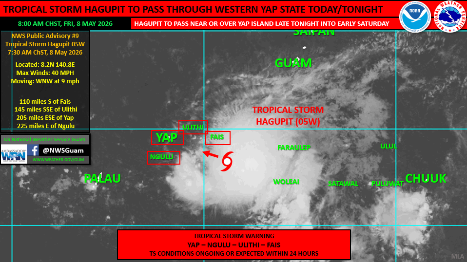
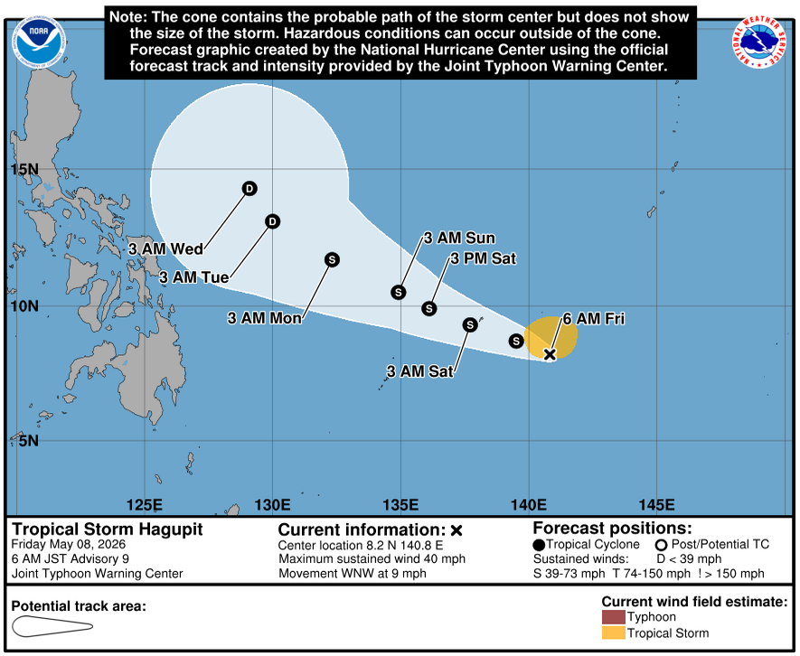
HAGÅTÑA — Tropical Storm Hagupit is on track to pass near or directly over Yap Proper overnight, with tropical storm warnings in effect for Yap, Ngulu, Ulithi and Fais, the National Weather Service in Guam said in its 10 a.m. ChST weather alert Friday.
The CNMI is not under threat. Hagupit is moving west-northwest, away from the Marianas.
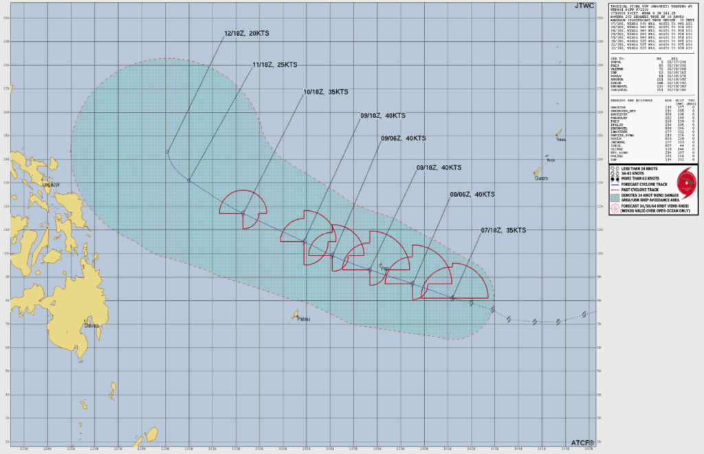
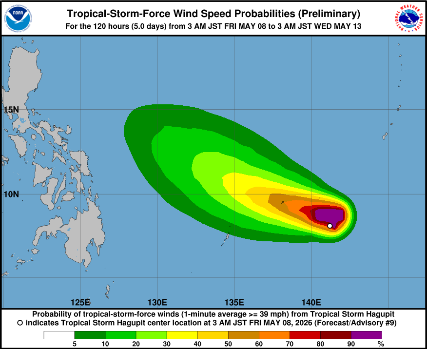
At 7 a.m. ChST, Tropical Storm Hagupit, designated 05W, was located 25 miles east of Sorol in western Yap State, near 8.2N 140.8E, the alert said. That position placed the storm 110 miles south of Fais and 205 miles east-southeast of Yap. Hagupit was moving west-northwest at 9 mph with maximum sustained winds of 40 mph.
The storm could see additional intensification through Saturday but is nearing peak intensity and is not expected to reach typhoon strength during its lifespan, the alert said. Tropical storm warnings for Faraulep and Woleai have been canceled.
The warnings now in effect mean tropical storm conditions, including sustained winds of 39 to 73 mph, are expected within 24 hours.
Tropical storm-force winds of 35 to 45 mph are expected starting Friday evening as Hagupit approaches, then increasing to 50 mph from the north to northeast, the alert said. Tropical storm winds are forecast to depart Yap and Ngulu on Saturday afternoon as Hagupit moves farther west-northwest.
Rainfall of 8 to 12 inches is possible near the center, with locally higher amounts and the potential for localized flooding. Seas of 10 to 15 feet are likely to develop quickly as the storm crosses the area.
Residents across western Yap State were urged to finalize preparedness plans and actions by midday Friday, earlier for Fais and Ulithi, and to seek safe shelter in a hardened building or home, not one constructed of wood or tin. Inter-island travel should be avoided until Hagupit has passed.