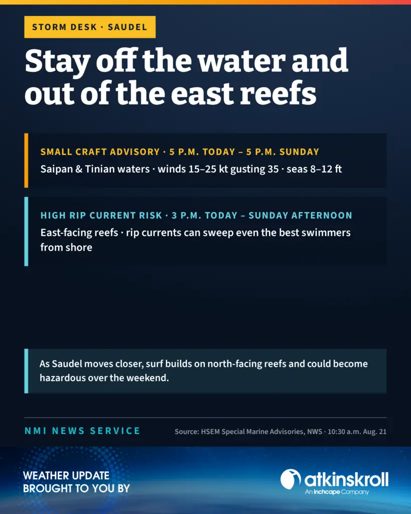

A small craft advisory takes effect at 5 p.m. today for Saipan and Tinian coastal waters and runs through 5 p.m. Sunday, the CNMI Emergency Operations Center said in a pair of special marine advisories issued at 10:30 a.m. Friday.
Southwest winds of 15 to 25 knots with gusts up to 35 knots and seas of 8 to 12 feet are expected. Very strong winds will cause hazardous seas that could capsize or damage vessels and reduce visibility.
Gov. David M. Apatang is advising all mariners, especially those operating smaller vessels, to avoid navigating in hazardous conditions.
The tropical storm watch remains in effect for both islands’ coastal waters, with west winds of 20 to 30 knots gusting to 35 knots beginning late tonight.
The high rip current risk announced earlier Friday also remains in effect from 3 p.m. this afternoon through Sunday afternoon along the east-facing reefs of the Marianas. An east to northeast swell driven by Saudel will build surf and produce dangerous rip currents that can sweep even the best swimmers away from shore into deeper water.
As Saudel moves closer to the far Northern Marianas, surf will also build along north-facing reefs and could become hazardous over the weekend, the advisory said.
Apatang is reminding the public to stay out of the water along east-facing reefs. Anyone caught in a rip current should relax and float rather than swim against the current, swim in a direction following the shoreline if able, and face the shore and call or wave for help if unable to escape.
Saudel was about 250 miles east-southeast of Saipan as of 7 a.m., moving northwest at 13 mph on a track across the far Northern Marianas.