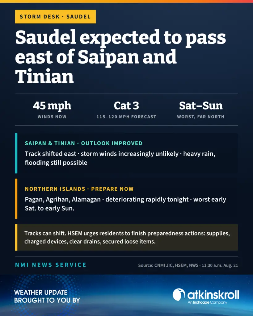

Tropical Storm Saudel’s forecast track has shifted slightly eastward, improving the outlook for Saipan and Tinian and reducing the likelihood of tropical storm conditions on both islands, the CNMI Joint Information Center said in an 11:30 a.m. Friday release.
The news is starker for the far Northern Islands. Forecast models indicate Saudel is likely to intensify into a strong typhoon, potentially reaching Category 3 strength with winds of 115 to 120 mph, as it passes near or through the far northern islands Saturday. Conditions on Pagan, Agrihan and Alamagan will deteriorate rapidly tonight, with the worst expected from early Saturday morning through early Sunday morning before quickly improving Sunday.
Saudel had maximum sustained winds of about 45 mph and was moving northwest at 13 mph.
HSEM, in coordination with the JIC and the National Weather Service in Guam, is advising residents across the Marianas to complete preparedness actions, and reminded the public that tropical cyclone tracks can shift.
On rainfall, heavier rain is expected to expand over Saipan and Tinian tonight through Saturday night into Sunday. The heaviest totals of 12 to 14 inches are forecast to stay south and southwest of the storm center and pass over the far Northern Marianas, but Saipan and Tinian should prepare for periods of heavy rain that could cause localized flooding, especially if rain bands stall over the islands. Residents should watch for nuisance to moderate flooding in low-lying and flood-prone areas, particularly overnight Saturday into Sunday.
Wind gusts will increase later today, especially in the northern islands. Saipan and Tinian could still see tropical storm conditions if the track shifts westward, though sustained tropical storm winds are increasingly unlikely under the current forecast. Increasing surf, strong rip currents and hazardous marine conditions are expected, particularly along north- and east-facing shores, along with isolated to scattered thunderstorms carrying frequent lightning and the potential for waterspouts over nearby waters.
For Saipan and Tinian, HSEM recommends securing loose outdoor items, keeping at least three days of nonperishable food and one gallon of water per person per day along with medications, flashlights, batteries and a first aid kit, fully charging phones and power banks, clearing drains and gutters, and reviewing family emergency plans.
For the Northern Islands, HSEM advises sheltering in place, in a cave or similar shelter if no concrete structure is available, avoiding all travel by land or sea during the storm, and preparing for hazardous conditions that may last 24 hours or more, including protecting food crops where possible.
All residents are urged to stay out of floodwaters, stay away from the shore, limit nonessential travel and check on elderly, disabled or medically vulnerable neighbors.
As of 8 a.m., Typhoon Condition II is in effect for Agrihan and Pagan, meaning damaging winds of 39 mph or more are expected within 24 hours, and Tropical Storm Condition III remains in effect for Saipan and Tinian.