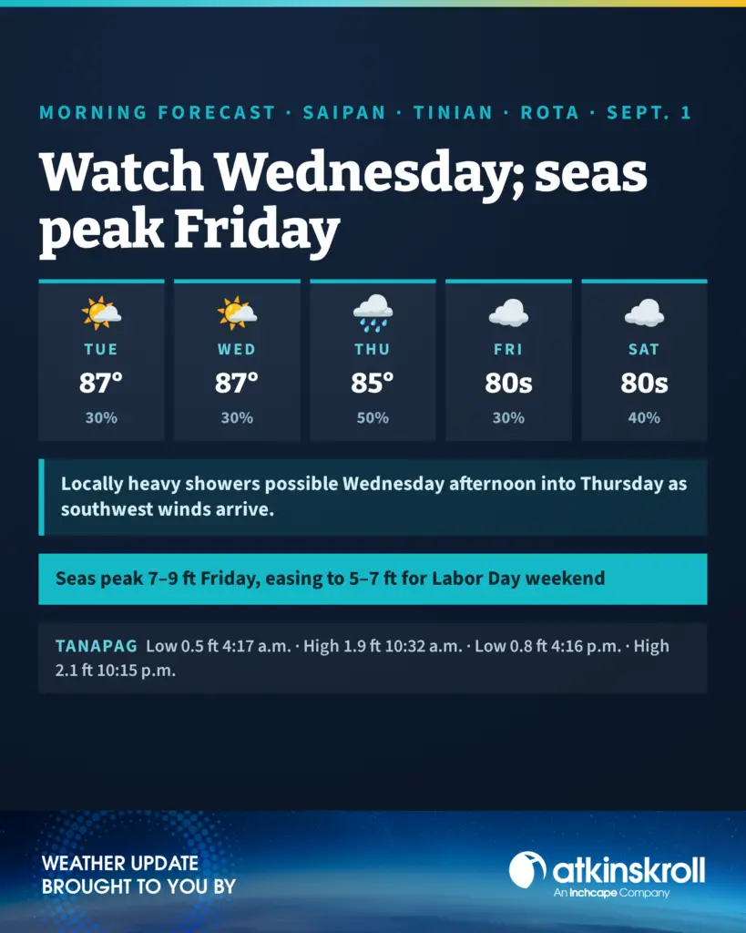

SAIPAN — Tuesday starts partly cloudy with isolated morning showers before scattered island-effect showers and isolated thunderstorms develop in the afternoon, with highs around 87, light and variable winds and a 30 percent chance, the National Weather Service in Tiyan said in its 6 a.m. forecast. Tonight runs partly cloudy at 20 percent with lows around 78.
The midweek turn holds on schedule: Wednesday’s afternoon brings scattered, locally heavy island-effect showers at 30 percent, then Wednesday night the southwest winds arrive at 10 to 15 mph with the chance rising to 50 percent. Thursday stays breezy and mostly cloudy with locally heavy scattered showers, southwest winds 15 to 20 mph and a 50 percent chance, easing to 30 percent Thursday night and Friday. The first look at the Labor Day weekend calls for mostly cloudy skies Saturday through the holiday Monday with a 40 percent chance of showers and highs in the mid 80s.
On the water, seas of 4 to 5 feet build through the week and now peak at 7 to 9 feet Friday on westerly swell, with 6 to 8 feet Thursday as southwest winds reach 20 knots, before easing to 5 to 7 feet Saturday heading into the holiday weekend. Forecasters say the disorganized monsoon pattern could turn numerous with locally heavy showers sometime Wednesday.
At Tanapag Harbor, a 0.5-foot low at 4:17 a.m., high of 1.9 feet at 10:32 a.m., a 0.8-foot low at 4:16 p.m. and high of 2.1 feet at 10:15 p.m. Rota and Tinian tides run within minutes of Saipan’s.