
SAIPAN — The National Weather Service in Guam says there is high potential for Invest 92W to form into a significant tropical cyclone later this week, as the disturbance drifts west-northwest through Micronesia with the Marianas’ weekend weather hanging on its development.
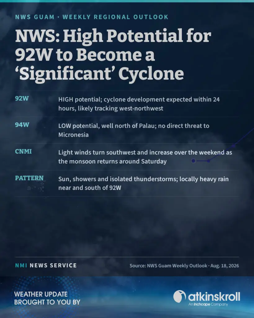
The assessment came in the weather service’s Weekly Regional Weather Outlook issued Tuesday afternoon, prepared by Acting Science and Operations Officer Paul Stanko. The Joint Typhoon Warning Center rates 92W, located between Chuuk and Pohnpei, as high for development, meaning formation into a tropical cyclone is expected within the next 24 hours.
A second disturbance, Invest 94W, is centered well north of Palau and rated low for development, meaning a tropical depression is unlikely in the next 24 hours. The weather service said 94W poses no direct threat to Micronesia but could develop further in the next few days as it tracks west out of the region. The outlook noted that no cyclone tracks are currently in or near the NWS Guam area of responsibility, and reminded readers that tropical disturbances are not guaranteed to develop, as some dissipate.
For Guam and the CNMI, the outlook calls for mainly light to gentle winds over the next few days, turning southwest and increasing over the weekend as the monsoon trough stays near the islands, with the monsoon returning to the Marianas around Saturday. A mix of sun and showers will prevail, along with isolated thunderstorms.
An unsettled pattern holds across Chuuk, Pohnpei, Kosrae and Majuro as 92W and the accompanying monsoon trough shift slowly west-northwestward, with showers that could be locally heavy at times and briefly strong wind gusts, particularly near and south to southwest of the disturbance.
On the drought front, the weather service said drier conditions continued across much of the region south of 10 degrees north and west of 140 degrees east, including Palau and Yap, though the region remains free of drought. The drier trend is expected to persist in the coming weeks and likely expand northeastward later in the year as the current El Niño event peaks.
The weekly outlook carries a standing caution that local conditions at any location can change significantly within a day or two, and the weather service directs residents to weather.gov/gum for the latest forecasts.