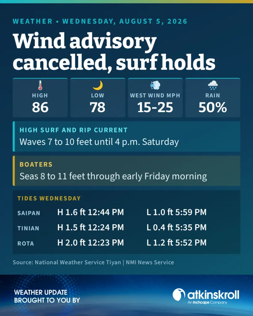

Saipan — The wind advisory for the Marianas has been cancelled, but the high surf advisory remains in effect until 4 p.m. Saturday and the high rip current risk continues through Saturday afternoon, the National Weather Service in Tiyan said Wednesday morning.
The surf advisory covers west and north facing reefs. The rip current risk covers west, north and east facing reefs.
Wednesday’s forecast calls for breezy conditions, mostly cloudy skies with scattered showers and isolated thunderstorms, west winds of 15 to 25 mph, a high around 86 and a 50 percent chance of showers. Tonight drops to a low around 78 with west winds easing to 10 to 15 mph.
Thursday through Friday stays breezy and mostly cloudy with scattered showers and isolated thunderstorms, highs around 85 and lows around 78. Friday night through Monday night carries a chance of showers and a slight chance of thunderstorms, with lows in the upper 70s and highs in the mid 80s.
On the water, the small craft advisory remains in effect through early Friday morning for Marianas coastal waters. Fresh to strong westerlies continue as a westerly monsoon surge holds, with combined seas of 8 to 11 feet expected Wednesday, dropping about a foot after today but remaining hazardous to small craft for several more days. Seas build back to 9 to 11 feet Saturday through Sunday with west winds of 15 to 25 knots.
At Tanapag Harbor, high tide reaches 1.6 feet at 12:44 p.m. Wednesday, with a low of 1.0 feet at 5:59 p.m. Tinian sees a 1.5 foot high at 12:24 p.m. and Rota a 2.0 foot high at 12:23 p.m.