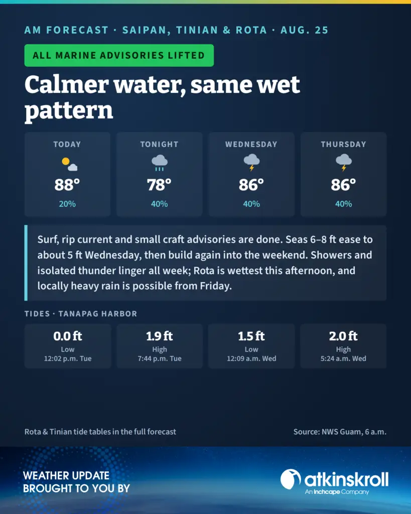

SAIPAN – The high surf advisory, high rip current risk and small craft advisory have all been lifted, the National Weather Service said in its 6 a.m. forecast Tuesday, as the southwesterly monsoon swell that pounded west-facing reefs through the weekend continues to back down.
Combined seas of 6 to 8 feet will ease to around 5 feet by Wednesday before gradually building again into the weekend. Light to moderate west to southwesterly winds continue through the week.
The rain is staying. An unsettled but disorganized monsoon pattern keeps periods of scattered showers and isolated thunderstorms over the Marianas all week, with locally heavy showers possible beginning Friday. Today is partly cloudy with isolated showers and highs around 88, with a 20 percent shower chance on Saipan and Tinian; Rota turns mostly cloudy with scattered showers and isolated thunderstorms this afternoon and a 40 percent chance. Tonight is mostly cloudy with scattered showers, lows around 78. Wednesday and Thursday stay mostly cloudy with scattered showers and isolated thunderstorms, highs around 86 and a 40 percent rain chance.
Midday brings an unusually low tide across the islands: 0.0 feet at Tanapag Harbor at 12:02 p.m., 0.0 feet at Tinian at 11:37 a.m. and 0.1 feet at Rota at 11:54 a.m. Evening highs run 1.9 feet at Tanapag at 7:44 p.m., 1.7 feet at Tinian at 7:18 p.m. and 2.1 feet at Rota at 7:17 p.m.