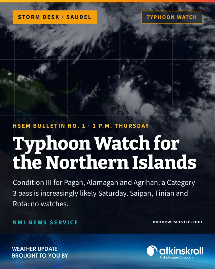

SAIPAN — A typhoon watch is in effect for Alamagan, Pagan and Agrihan, and Governor David M. Apatang has declared Typhoon Condition III for the three islands, CNMI Homeland Security and Emergency Management announced at 1 p.m. Thursday, as Tropical Storm Saudel continues northwest toward the far Northern Marianas with an increasingly likely Category 3 pass Saturday.
Typhoon Condition III means damaging winds of 74 mph or greater are possible within 48 hours. The declaration, made in consultation with the National Weather Service in Guam and HSEM, marks the first watch issued for the Marianas in Saudel’s approach.
No conditions, watches or warnings are in effect for Saipan, Tinian or Rota. HSEM said current forecasts show a low probability of direct impacts to the three southern islands, with the weather service assessing only a 10 to 20 percent chance of tropical-storm-force winds for Saipan and less than 5 percent for Rota — odds dependent on what forecasters called an unlikely westward track deviation. Residents of the southern islands are advised to closely monitor the storm and begin preparing for increased rainfall and gustier conditions late in the weekend, as conditions could change rapidly with any notable westward shift.
As of 10 a.m., Saudel carried maximum sustained winds of 40 mph and was moving northwest at 16 mph, centered about 470 miles east-southeast of Saipan, Rota and Tinian, 575 miles southeast of Alamagan, 605 miles southeast of Pagan and 645 miles southeast of Agrihan. Tropical-storm-force winds extend up to 70 miles from the center, mainly to its south. The storm is forecast to intensify through Sunday, possibly becoming a typhoon Friday through a period of rapid intensification, and to pass through the far Northern Marianas as a Category 3 typhoon Saturday afternoon and Saturday night, where HSEM said tropical storm conditions are highly likely.
The public is advised to monitor official sources, stock emergency kits with water, non-perishable food, medications, flashlights, batteries and important documents, secure loose outdoor items, clear drains and gutters, review family emergency plans and avoid unnecessary travel if conditions deteriorate. HSEM noted that the STRONG tents in use by typhoon survivors on Saipan, Tinian and Rota are rated to withstand 4 inches of rain per hour and winds to 55 mph and do not need to be taken down based on current forecasts.
Fair weather is expected through Friday and Saturday for the southern islands, with light winds and no significant flooding threat anticipated, before southwest winds, showers and thunderstorms build Saturday night into Sunday and marine conditions approach hazardous levels for small craft Sunday and Monday.
The EOC State Warning Point is issuing bulletins as conditions develop, with the next scheduled at 2 p.m. and an intermediate bulletin at 5 p.m. Northern Islands residents can reach the State Warning Point by high-frequency single side band radio on 5.205.0