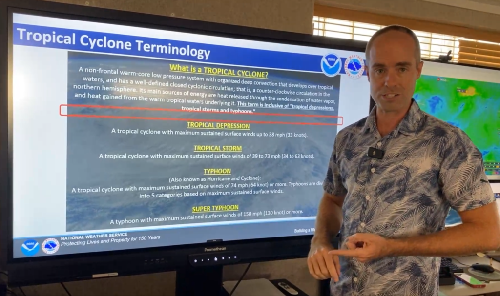

SAIPAN — The Joint Typhoon Warning Center issued a tropical cyclone formation alert for Invest 92W on Tuesday afternoon, and the disturbance could be declared Tropical Depression 17W as soon as Wednesday, the National Weather Service in Guam said in a Facebook Live briefing Tuesday evening.
“That means we can expect to see the formation of a tropical depression within the next 24 hours,” said Brandon Aydlett, meteorologist-in-charge at the weather service’s Guam office, adding that the development has been anticipated for several days.
The disturbance is sitting nearly midway between Chuuk Lagoon and Pohnpei, where it has drifted slowly for days, Aydlett said. He said 92W could remain nearly stationary for another 24 to 36 hours, possibly with a slight westward drift, before eventually ejecting to the northwest. That northwest motion, expected to pick up later Wednesday into Thursday, is what forecasters are waiting on.
“We want to see that motion probably by Wednesday evening, and that’s going to give us increased forecast confidence,” he said.
Aydlett addressed the question flooding the weather office’s phone lines from the Marianas: where is 92W going, with a holiday weekend coming up. He showed one run of the U.S. GFS model depicting a typhoon somewhere north of the Marianas by Sunday afternoon, then cautioned that a single model run is only one of many possible outcomes. A 30-member ensemble of the same model, he said, spreads potential tracks from west of the Marianas to the far southeastern Japanese islands, with some members crossing the island chain and others staying east.
“Right now, it is still too early to say definitively if we’re looking at a Marianas passage, a northern Marianas passage, or a passage just to the east of the Marianas,” he said. “That is all in the potential right now. This is why folks in the Marianas, particularly the northern Marianas, should be paying close attention as we head into later this week and into the weekend.”
No tropical cyclone watches or warnings are in effect anywhere, and Aydlett said none are currently anticipated. For the Marianas, the forecast holds no hazards for the next several days, with light to gentle winds, calmer seas and a couple of pleasant days of sun, showers and a few thunderstorms before southwest winds arrive this weekend with increasing showers late in the weekend and into early next week.
The picture is rougher in central and eastern Micronesia, where days of heavy rain have brought flash flooding reports from Chuuk and notable mudslides on Kosrae. Aydlett said strong westerly winds of 20 to 25 knots are being measured south of Weno and Pohnpei, seas are building toward 10 feet, and the risk of flash flooding and mudslides is considerable, with saturated ground on the higher islands. He urged anyone in mudslide-prone areas to consider relocating and asked mariners to check the latest advisories before any lagoon or open-water travel.
Aydlett said two other disturbances being tracked, Invests 94W and 95W, pose no impact to the Marianas or Micronesia.
The weather service is running its routine 12-hour forecast cycle, with updates each morning and afternoon, and will ramp up operations with additional advisories if a depression forms. Forecasts are updated at weather.gov/gum.
“Don’t be surprised,” Aydlett said of the week ahead. “We’ve got a few more days to keep an eye on things.”