SAIPAN — The National Weather Service in Guam issued a supplemental outlook Wednesday raising the development potential of Invest 90W to medium, meaning significant development into a tropical cyclone is likely, though expected to occur beyond 24 hours.
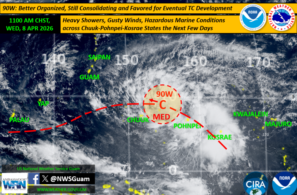
The update, prepared by Meteorologist-in-Charge Brandon Aydlett, reflects improved organization of the system, which has drifted northwest from its position south of Pohnpei on Tuesday and is now located east-northeast of Chuuk. Morning satellite imagery Wednesday showed a more defined circulation.
The Joint Typhoon Warning Center made the medium designation, a step up from earlier assessments.
“We expect that with its improved organization, we’ll see a narrowing of the ranges of these forecast aspects, perhaps within the next 12 to 24 hours,” NWS said.
Uncertainty remains on three fronts: how strong the system will become, what track it will take — whether west or northwest — and exactly how it will bear on the Marianas, with possibilities ranging from a passage south of Guam to a track over Guam and the CNMI or through the far northern islands. Timing is projected for late this weekend or into early next week.
NWS said even a passage south of Guam would produce impacts for the Marianas. Enhanced trade winds well to the north of the system’s center would become strong and gusty with increasing rain. Marine conditions are expected to become increasingly hazardous over the weekend regardless of track.
For the Marianas, pleasant trade-wind conditions are expected to persist through the work week before deteriorating as 90W closes in. Residents are urged to monitor weather.gov/gum and follow NWS Guam on social media for updates as the system continues to evolve