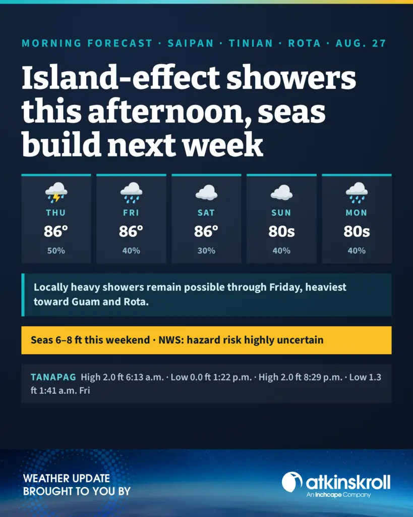

SAIPAN — Today looks partly sunny with isolated showers for Saipan and Tinian, becoming scattered island-effect showers in the afternoon with isolated thunderstorms, the National Weather Service in Tiyan said in its 6 a.m. forecast. Guam and Rota see scattered showers with locally heavy showers possible. Highs around 86, west winds 5 to 15 mph, chance of showers 50 percent.
Tonight is partly cloudy with isolated showers for Saipan and Tinian, while Guam and Rota stay mostly cloudy with scattered showers, isolated thunderstorms and locally heavy showers possible. Lows around 77, southwest winds 5 to 15 mph, chance of showers 40 percent.
Friday brings scattered showers and isolated thunderstorms with locally heavy showers possible, highs around 86 and west winds 10 to 15 mph. The weekend trends drier on land: mostly cloudy Friday night and Saturday with isolated showers and a 30 percent chance, then a 40 percent chance of showers with a slight chance of thunderstorms from Saturday night through Wednesday, lows in the upper 70s and highs in the upper 80s.
On the water, combined seas of 3 to 5 feet continue through Friday night, then begin to increase as a new monsoon surge develops to the west, possibly alongside a tropical disturbance. Forecasters say seas may reach near hazardous conditions for small craft early next week, at 6 to 8 feet Saturday and Sunday, though they continue to stress this remains highly uncertain. Locally heavy showers remain possible through Friday.
At Tanapag Harbor, high tide of 2.0 feet at 6:13 a.m. today, a 0.0-foot low at 1:22 p.m., high of 2.0 feet at 8:29 p.m. and a low of 1.3 feet at 1:41 a.m. Friday.