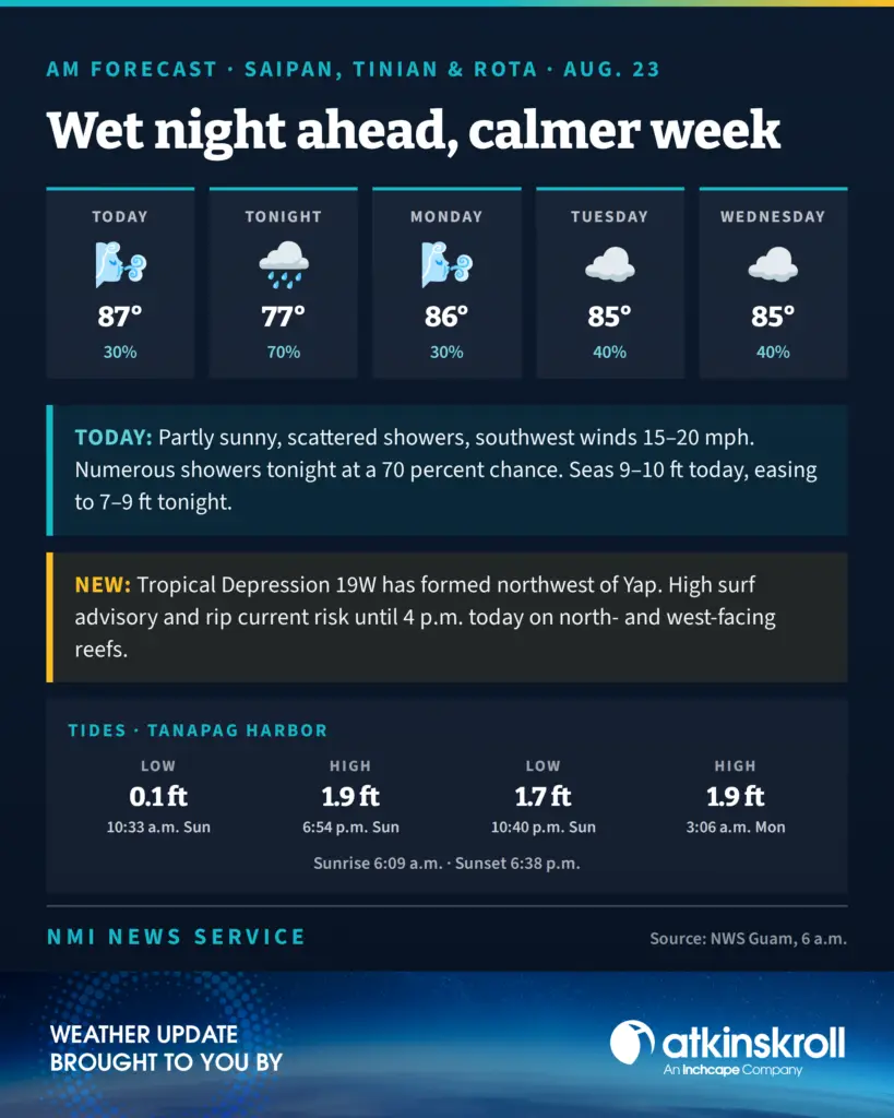

SAIPAN — Numerous showers move over Saipan, Tinian and Rota tonight with a 70 percent chance of rain, before the week settles into a calmer pattern, the National Weather Service said in its 6 a.m. Sunday zone forecast.
Today is partly sunny with scattered showers, isolated thunderstorms, southwest winds of 15 to 20 mph and highs around 87. Monday turns partly sunny again with a 30 percent rain chance, and Tuesday through Wednesday hold at 40 percent with highs in the mid 80s.
Forecasters also confirmed that Tropical Depression 19W has developed northwest of Yap, upgraded from the disturbance flagged as Invest 97W on Saturday. The depression will contribute some additional west swell to Marianas waters. No watches or warnings are in effect for the CNMI in connection with the system.
With Saudel heading away, waves will normalize gradually, the weather service said, though seas run 9 to 10 feet today before easing to 7 to 9 feet tonight and holding there through Monday night. The small craft advisory runs through late this afternoon.
The high surf advisory and high rip current risk are both in effect until 4 p.m. today along north- and west-facing reefs.
Tides at Tanapag Harbor: low of 0.1 feet at 10:33 a.m., high of 1.9 feet at 6:54 p.m., low of 1.7 feet at 10:40 p.m., and high of 1.9 feet at 3:06 a.m. Monday. Sunrise was 6:09 a.m.; sunset is 6:38 p.m.