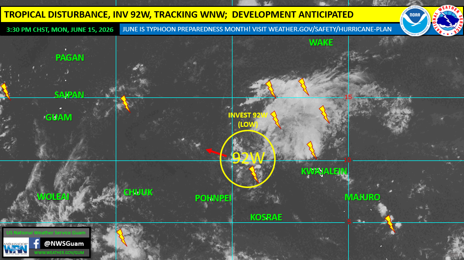
SAIPAN — The National Weather Service in Guam said a weak tropical disturbance, Invest 92W, is expected to pass through the Marianas later this week, with the time of passage forecast between Thursday evening and Friday evening, though its exact track and strength remain uncertain. No tropical storm or typhoon watches or warnings were in effect as of the Monday afternoon outlook.
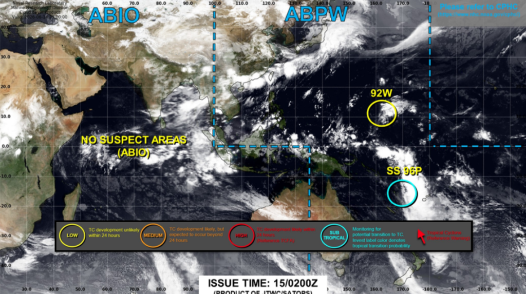
As of 12 p.m. on Monday, June 15, 92W was located near 10.2 north, 161.9 east, about 1,032 nautical miles east of Guam, moving west-northwest at around 14 knots. The system was passing north of Kosrae State after failing to organize or strengthen over the weekend in the Marshall Islands, contrary to what some forecast models had initially indicated.
Satellite trends on Monday showed some gradual organization possibly taking place, and the Joint Typhoon Warning Center raised the system’s chance of developing into a tropical cyclone from sub-low to low late Monday morning. A low rating means development into a tropical cyclone is unlikely within the next 24 hours.
Forecast models have kept the time of passage through the Marianas between Thursday evening and Friday evening, with a track ranging from south of Guam to as far north as Pagan. The intensity at the time of passage also remains uncertain, ranging from a tropical disturbance to a severe tropical storm. NWS Guam said the likelihood of a typhoon or super typhoon continues to decrease because of the system’s ongoing delayed organization and intensification.