SAIPAN — The National Weather Service’s meteorologist-in-charge for Guam is urging Marianas residents not to panic over social media posts about a potential tropical system next week, saying there is currently no organized disturbance being tracked and considerable uncertainty remains about whether anything will develop or where it might go.
Landon Aydlett of the National Weather Service in Tiyan joined NMI News Service Monday afternoon to address the wave of rumors and anxiety spreading across WhatsApp and social media following graphics showing potential storm tracks through the Marianas.
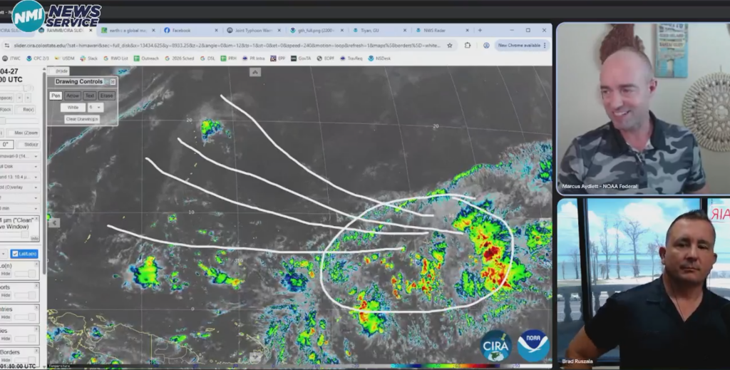
“Right now, there’s just nothing out there that we’re tracking,” Aydlett said. “These are all forecast model solutions.”
Aydlett said the models are looking at the eastern Micronesia region near Pohnpei, Kosrae and the Marshall Islands as a potential area of development, but stressed that no closed circulation exists and the Joint Typhoon Warning Center has not opened any invest area. He said westerly winds along the equator, a key ingredient for tropical development, have not yet materialized.
“There’s a lot of disorganized clutter,” he said. “Could we see that emerge later this week into the weekend? A lot of the models are saying yes, but where exactly will it emerge, where would it move, how fast will it move, will it develop — those are all the big questions and the models are not agreeing.”
Aydlett specifically cautioned against fixating on the graphic posted by NWS Guam earlier Monday, calling it more committal than the data supports at this range. “This is a little bit too committal to one solution or the other,” he said. “The possible track cone is quite too narrow for this far out.”
If something does develop, the possibilities remain wide as it could track toward Yap and Palau, toward Guam, through Saipan and Tinian, or out to the northeast. None of those scenarios is certain.
“Don’t focus on a single forecast model solution for eight days in advance,” Aydlett said. “Focus on the bigger picture. The weather is nice outside. Focus on getting cleaned up, on your two feet, and cleaning up from the last one.”
He said the sequence to watch for is the opening of a Joint Typhoon Warning Center invest area, followed by ratings of low, medium and then high. “Right now there’s nothing, not even a sub-low,” he said.
Aydlett will join Good Morning Marianas Wednesday for the regular weekly weather update. NMI News Service will continue to monitor and report on any developments.